Tuesday, June 6, 2017

Landscaping at the site at Palo Duro Canyon State Park


Each camping site at the park is laid out like normal but we look at a creek which is empty during this time of year. Each site has a picnic table, a tent setup area and a fire pit. Some sites have a wood structure over the picnic table for shade. Our site has numerous trees and appreciate with the temperature in the mid 90's. 

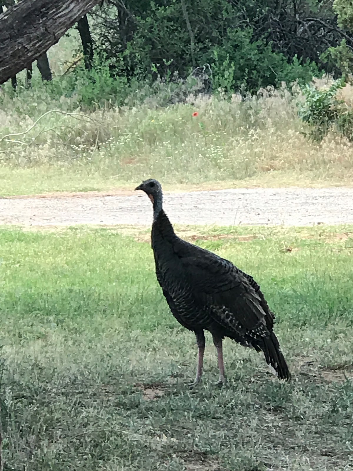
Norma is enjoying the insects, butterflies and a turkey today! Finally, the moon rise over the mountain is a beautiful site and glad Norma captured. 


Hiking the Givens, Spicer and Lowry Trail at Palo Duro Canyon

Palo Duro Canyon State Park offers well maintained trails for hikers, bikers, and horses. We chose the Givens, Spicer and Lowry Trail today.

In June, you must start your hike early to beat the afternoon heat and prepare with water to keep hydrated.

The Givens, Spicer and Lowry Trail is difficult because it is 3.08 miles one way and meets up with two other trails. We liked the ups and downs as it weaved us through the canyon. The views were awesome and appreciated the trail being well maintained.

For more information about the trails at Palo Duro click here.


Monday, June 5, 2017

On the Road Again!

We are excited to begin our next adventure. We are packed up and ready to go.
 The Olson's are eager to begin!


We enjoyed a fabulous sunset on our first evening on the road. 


If you are wondering about Mia? She is enjoying being on the road again and is on guard 
when we leave the RV for a little breakfast. 


The second largest canyon in the USA is Palo Duro Canyon. It is a canyon system of the Caprock Escarpment located in the Texas Panhandle near Amarillo. Palo Duro Canyon is called the Grand Canyon of Texas. 

We decided to stay at the State Park and enjoyed getting settled in today. We relaxed and checked out the facilities. We are looking forward to early hikes because in the canyon, the temperature can reach 100 but at night it cools down in the upper 60's. I am amazed at the multicolored layers of rock and steep mesa walls which are similar to those in the Grand Canyon. 


We took a walk around the camping area and I fell in love with this Texas Star!


Doesn't the jeep belong? She is ready for some off road trails but will have to wait until Colorado!


Thursday, April 7, 2016

RV Trip To Austin Circuit Of America

Craig took the RV to Austin and volunteered at the Circuit of America.

Accroding to Wikipedia , Circuit of the Americas (COTA) is a unidirectional, grade 1 FIA specification 3.427-mile (5.515 km) motor racing facility located inElroy, on the southeastern periphery of Austin city limits, in Central Texas. COTA plays host to the Formula One United States Grand Prix. The circuit also hosts the Motorcycle Grand Prix of The Americas,[2] a round of the Road Racing World Championship, commonly known as MotoGP, the FIA World Endurance Championship,[3] as well as the WeatherTech SportsCar Championship. It previously hosted the Australian V8 Supercars series,[4] the American Le Mans Series,[5] and the Rolex Sports Car Series[6] 

Craig set up in a great spot next to the track. 


Craig enjoyed a visit at the Tower at Circuit of Americas. Yes he is standing on a glass floor way up high! 


Thursday, December 31, 2015

Santa Elena Canyon Trailhead


This short trail follows the bank of the Rio Grande as it cuts through the Mesa De Anguila. It's a short hike, but the stunning views in the canyon make this hike one of the top attractions of Big Bend.


The trail starts off from the parking lot with the canyon clearly ahead. Given the close proximity to the river there is lush vegetation in the area, including some trees and plants that you will not find elsewhere in the park.
The waypoint "Creek Cross" marks the point at which the trail crosses Terlingua Creek. On our visit this creek was completely dry, so it presented no barrier us. However, if you visit during a wetter month pay close attention to this area as the creek may be too deep and swift for safe passage.


The close proximity to the river makes the desert floor bloom. The Mexican side of the canyon looms ahead.
Upon arriving at the mouth of the canyon there are a series of switchbacks in the rock at the spot marked with the waypoint "Steps". Many of the switchbacks are reinforced with concrete and some include hand railings, which makes the going much easier.
When you reach the top of the switchbacks take a look back to the north and see the Chisos Mountains in the distance. Look across the Rio Grande and see Mexico a few hundred feet away. Depending upon the season in which you visit the Rio Grande may not look all that grand. It seems odd that the river carries enough force to have carved such a canyon. The secret lies in the fact that the mesa is constructed of limestone, a relatively soft rock and the Rio Grande is heavily loaded with sediments and sand, which act as an efficient scouring agent eating away at the rock.


The trail follows the Rio Grande upstream. The trail hugs a ridge in the canyon wall on the American side of the river. At the waypoint "Overlook" there is a fine spot to view the river both up and downstream. This is the point at which a lot of visitors turn around because the trail from here is rougher and harder to follow.


While the trail along the canyon up to this point hugged a ridge, from here on out the trail will drop down closer to the river and follow a real river bank. Instead of bare rock you'll go through thick clumps of trees and bushes with dirt and sometimes sand under your feet. This narrow belt of life along the river plays host to a wide variety of plants such as Cane and Willow trees.